Interactive Maps and Tour
Using the map
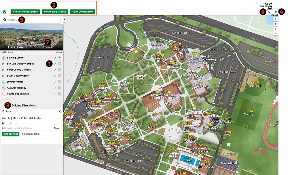
The college’s new online campus maps are mobile-friendly and offer significantly more functionality than a printed map. Optimized for desktop and mobile devices, the map provides usability for all visitors to the site – on or off campus.
Features
- Parking locations, building numbers and labels are easily located when you first open the map. They can be toggled on or off by clicking the gray button.
- Switch campuses using the tabs at the top.
- If you need driving directions, pick a location and click the icon in the left sidebar.
- Need a printable map? Use the print icon in the upper right corner to generate a printable PDF.
- Can’t find something? Use the search bar in the upper right corner.
- Use the "copy link" icon in the upper right corner to share the location.
- Click the tours tab to experience 360-degree views of our campuses.
Looking for the location of a specific classroom or space?
Here are three hints to help you find where you are going:
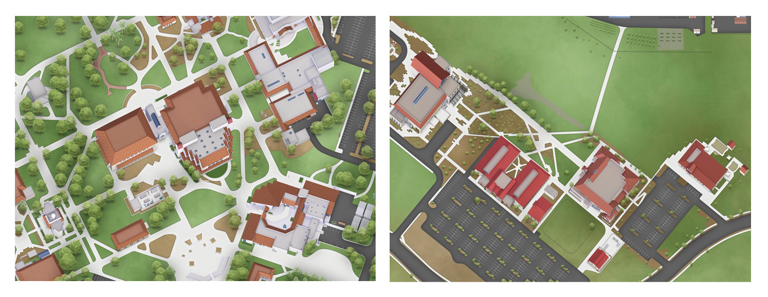
- The first two digits tell you what building the room is in, and the last two are the actual room number. For example: Room 5401 is in Building 5400.
- Some buildings have two numbers, because they have two floors. For example: The Martinez Building first floor is 2600, and the second floor is 2700.
- If a building/room starts with N, it means that it is located at the North County
Campus in Paso Robles. For example, the Nursing Sim Lab in Paso is N2805.