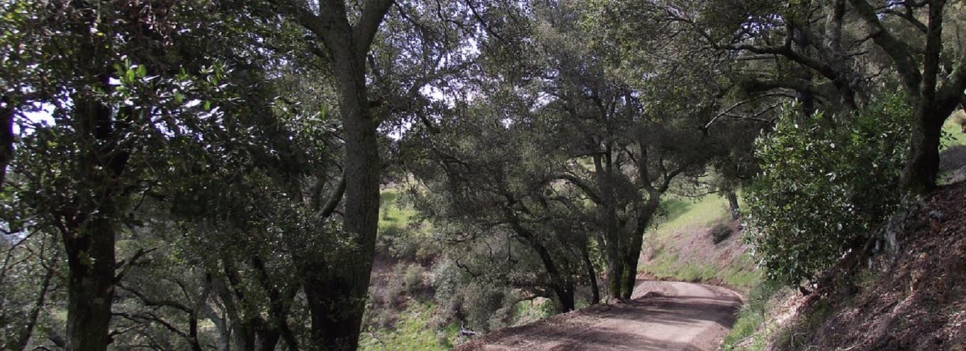
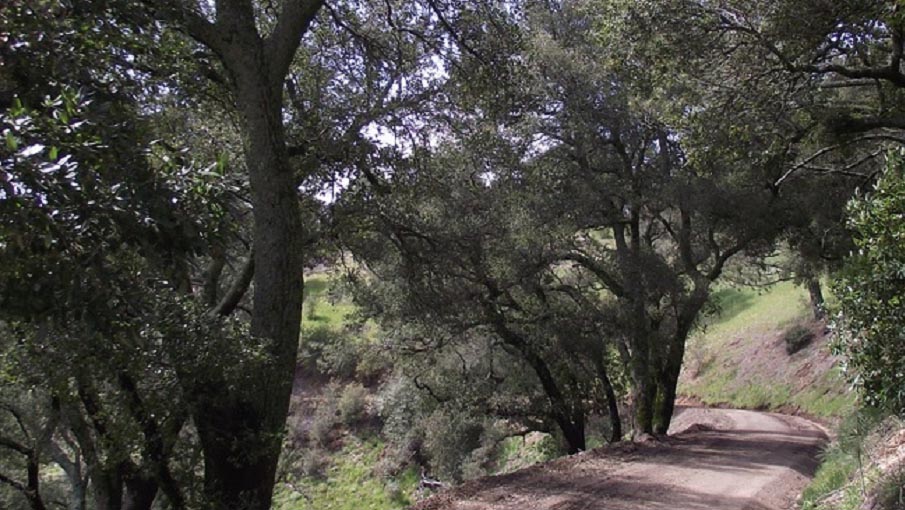
West and East Cuesta Ridge, Santa Lucia Mountains

Photo: Coast Live-Oak Woodland by Steve Schubert
Van transportation provided (maximum 12 passengers).
Parking permits required to park on the Cuesta College campus.
Trip ratings:
- Moderately difficult: uneven terrain, up to several hundred feet elevation gain, medium distance
- Strenuous: uneven terrain, significant elevation gain 500 to 1,000 ft., long distance
Suggested item to bring: sturdy hiking shoes, sunscreen, hat, dress warm in layers, binoculars, field notebook for note taking, field guide references/smartphone apps, camera, water, snacks, and sack lunch
Register Online - CANCELLED
DATES: 2 Hikes: April 27 and May 04, 2019
TIME: 8:00am - End Time TBD
FEE: $100
LOCATION: San Luis Obispo Campus Room 4730
INSTRUCTOR: Steve Schubert
QUESTIONS: Contact instructor at s_schub1@msn.com or (805) 440-9390.
4/27/19: West Cuesta Ridge Botanical Area, Santa Lucia Mountains - Hike begins at the Botanical Area sign, Los Padres National Forest; road access off
of Hwy. 101 north bound on the left (west side) near Cuesta Pass summit Emphasis:
Coast Range geology, Franciscan and serpentine rock formations, Chaparral and Sargent
Cypress (Closed-Cone Coniferous) Forest plant communities, fire ecology, native plant
and wildflower identification, birding and wildlife sightings, wildlife tracking.
Meeting location and time: Cuesta College campus, SLO 8:00am
One-hour classroom meeting and lecture followed by van field trip and nature interpretation
guided hike
Distance: approximately 4 miles out-and back, 4 to 5 hours moderately difficult rating
More information at: https://www.fs.fed.us/wildflowers/regions/Pacific_Southwest/CuestaRidge/
and http://www.hikemasters.com/2010/04/west-cuesta-ridge-los-padres-national.html
5/04/19: East Cuesta Ridge, Santa Lucia Mountains
Hike begins at pullout near Cuesta Pass summit; access off Hwy. 101 north bound on
the right (east side)
Emphasis: Coast Range geology, Monterey Shale rock formation, Chaparral and Knobcone
Pine (Closed-cone Coniferous) Forest plant communities, fire ecology, native plant
and wildflower identification; birding and wildlife sightings, wildlife tracking
Distance: approximately 8 miles out-and-back, 6 to 7 hours strenuous rating
More information at: https://www.trails.com/tcatalog_trail.aspx?trailid=HGW334-015
Meeting location and time: Cuesta College campus, SLO 8:00 a.m. Van field trip and nature interpretation
guided hike
Suggested references:
Geology - ‘Geology of San Luis Obispo County’ by Dr. David Chipping (available as
a pdf copy at http://cnpsslo.org/shop/the-geology-of-san-luis-obispo-county/ )
Wildflowers and Native Plants – ‘Wildflowers of San Luis Obispo, California’ produced
by the City of San Luis Obispo and the San Luis Obispo Chapter of the California Native
Plant Society (available at http://cnpsslo.org/shop/wildflowers-of-san-luis-obispo/ ); also, assorted wildflower field guides
Bird watching - San Luis Obispo County Bird Checklist by Morro Coast Audubon Society
(available as pdf file online at http://www.morrocoastaudubon.org/p/mcas-slo-county-bird-checklists-birds.html ); also, assorted birding field guides i.e., National Geographic and Peterson field
guides, free birding apps for smart phones and tablets i.e., Merlin Bird ID App. and
Audubon Bird Guide App.
Note: printed references are for sale locally at the Morro Bay State Park Museum of
Natural History gift shop and Wild Birds Unlimited store in San Luis Obispo
